Mapping UK crime data HowTo
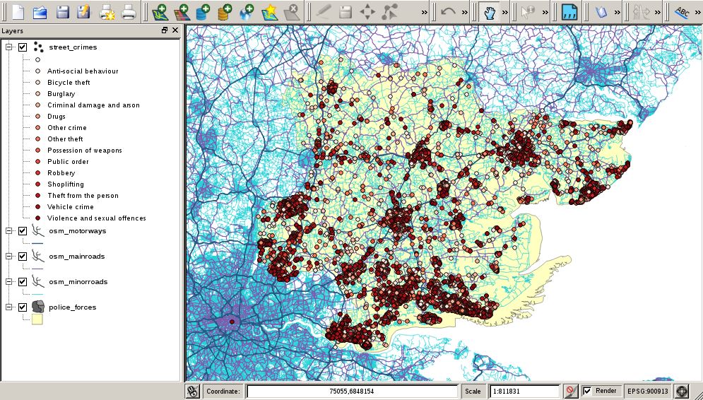
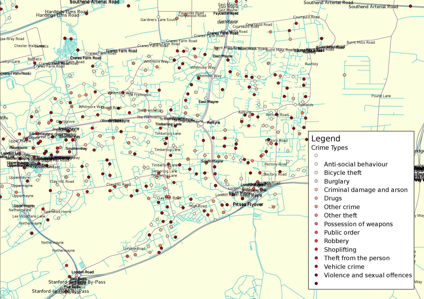
We will create a database and populate it with UK streets and incidents of street crime. We will then plot the crimes on an interactive map for further analysis.
We will create a PostgreSQL PostGIS database on the local machine. Eventually all our spatial data will be stored here.
Sun's direction becoming clearer
Oracle has filed suit against Google with regards to Google's use of Java in Android mobile devices. In other news, Oracle has cut-off OpenSolaris. Oracle has also been shutting down
OpenStreetMap moves to PostgreSQL
Clever Elephant has reported that PostgreSQL will be used for OpenStreetMap.
ESRI to support PostgreSQL
PostgreSQL weekly news reports that ESRI ArcGIS 9.3 now supports PostgreSQL. This enhancement allows businesses to obtain the full benefits of PostgreSQL or EnterpriseDB alongside an established ArcGIS installation.


