QGIS stylesheets for OpenStreetMap
Ready-made QGIS stylesheets (QML) for OpenStreetMap are available for download. These were created and tested with QGIS version 2.2 on Debian GNU/Linux 7.
Classifications
Places
Presenting Ordnance Survey Meridian 2 data in QGIS
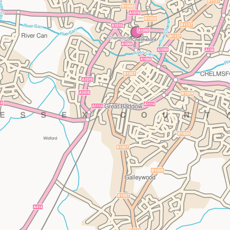
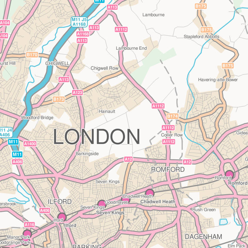
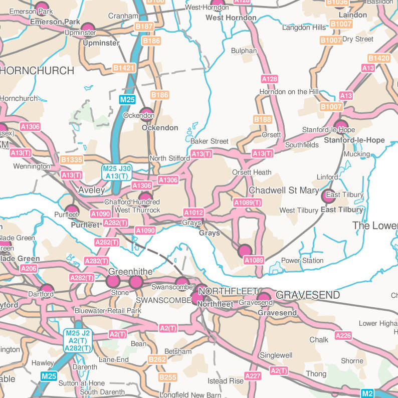
Below are QGIS QML stylesheets for OS OpenData Meridian 2 layers. Ordnance Survey data has been available for a while for download as OS OpenData. Also provided are SLDs for ESRI. However these SLDs do not import correctly into QGIS.
Classifications
Places
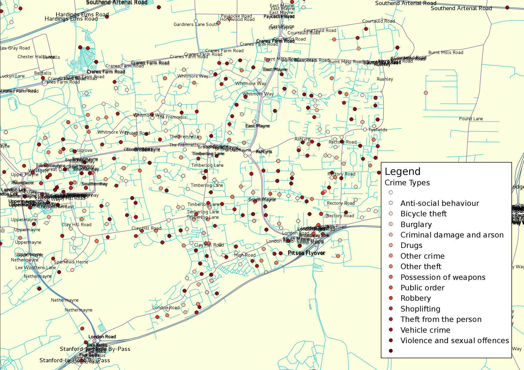
Mapping UK crime data HowTo
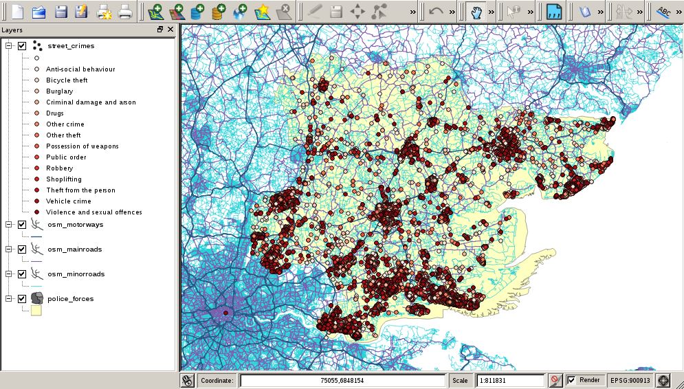
We will create a database and populate it with UK streets and incidents of street crime. We will then plot the crimes on an interactive map for further analysis.
We will create a PostgreSQL PostGIS database on the local machine. Eventually all our spatial data will be stored here.
Classifications
Places

